My first trip to the Crosier Mountain Trail was in 2009 or 2010. I only hike a few miles, but had decided someday to tackle it all. For most of 2015/6 the road to Glen Haven was under construction and the TH was closed, then in the fall of 2016 the road through the Big Thompson Canyon was closed. Last week that road opened up for the summer, so I decided today was the day.
The day was just about perfect. It was cool in the morning then warmed up to the low 70s by early afternoon, with a nice single digit wind; just enough to keep the sweat manageable. The trail to Crosier Mountain is basically one long five mile climb; steep in most places, but broken up often enough with small flat meadows to not be a complete killer.
 |
| Terrain at the trailhead |
 |
| First big meadow to break the climb |
 |
| North Fork Valley, looking to Pinnacle Peak in the BT Canyon |
 |
| Cave along the way |
 |
| My first glimpse of Piper Meadow |
 |
| Overlooking the meadow and into RMNP |
 |
| A Cabin ruin |
 |
| Knapps Knob ; small hill named after Ira Knapp of Glen Haven |
 |
| Animal skeletons |
I finished the loop and began the trek back. It was a challenging climb back up to Crosier Mountain and an even more challenging steep descent to the truck. As you can see in some of the pictures, the wildflowers were out in force and I went wild taking pictures of wildflowers. Here they are.
 |
| Not flowers, actually sun on the leaves |
 |
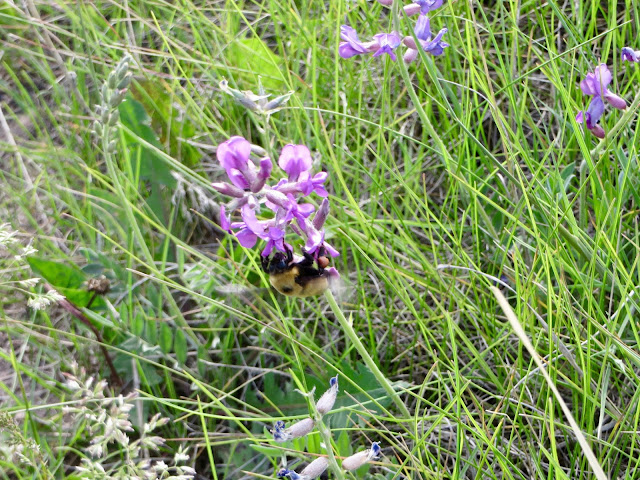
| Bumblebees were out too |
Overall Track Statistics for Drake - CrosierPiperMdw, 2208 data points
Length 15.496 miles : Garmin Length 16.771 miles
Start Elevation - 6477.23 feet
Maximum Elevation - 8719.39 feet
Minimum Elevation - 6389.67 feet
Date of Hike - Jun 10, 2017
Start Time - 07:45 AM
End Time - 03:56 PM
Total Duration - 8:11 hours:min
Total Ascent - 4367.65 feet
Total Descent - 4455.22 feet
Net Ascent - -87.57 feet
Maximum Grade - 23.64%
Average Speed - 1.89 mph : Garmin Average Speed 2.05 mph
Maximum Ascent over Mile - 769.26 feet
Maximum Speed over Mile - 2.66 mph
Maximum Gain over Mile (%) - 14.23%


No comments:
Post a Comment