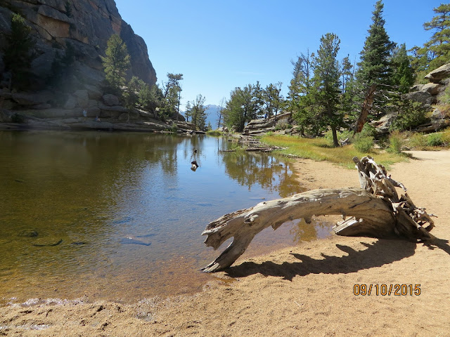
The early part of the trail is along an old ranch road that slowly narrows to a two track ATV-like trail and finally to a single track hiking trail. Since RMNP doesn't allow motorized vehicles, I'm sure these roads were original roads used by the ranch-hands. The trail loosely follows Cow Creek. I decided that, today, I would stop and talk to people on the trail. At least I would try to say more than 'hi'. Before I got out of the trailhead I was met by some folks from Illinois who were looking for the trailhead to Bridal Veil Falls. I told them, 'yep, this is it'. About a mile in I met a couple from Arkansas. They were also headed to Bridal Veil Falls. I soon reached the Cow Creek/Gem Lake/Balanced Rock trail junction, turned left and headed up the hill. However, before I headed up the hill, I had to go down and cross Cow Creek. Like I tell the Grandkids, for every up there is a down.
 |
| Cow Creek Crossing |
The trail began a long strenuous climb up to the Balanced Rock/Gem Lake trail junction. The trail was full of rocks and alot of good forest growth, so the views were limited. But I did get a few shots of the Mummy Range.
 |
| Mummy Range (1) |
 |
| Mummy Range (1) |
 |
| Mummy Range (1) |
 |
| MacGregor Road |
 |
| Balanced Rock |
 |
| Early sign of fall (1) |
 |
| Early sign of fall (2) |
and a batch of berries. I wonder if a bear will find those.
 |
| Berries |
Also, along the way I met a Mother and her son out on an overnight backpacking trip. After talking to them for a bit, I learned that the batteries for their headlamp and UV water filter were dead. I had a spare set of "AA" and "AAA" batteries, so i gave them to her. I also gave them a bottle of water, since they were nearly out of water and it was still 3 miles to Cow Creek.
It was not much longer and I made it to Gem Lake where I decided to eat my lunch. While there a chipmunk decided to attempt to share my lunch with me, but a few well aimed handfuls of sand discouraged that idea.
 |
| Gem lake |
I hope to return to Gem Lake later this year with my daughter and her family.
Well the day was pretty much over, so I started to head home. As I was headed home I again encountered the Mother and Son hiking duo. We stopped and chatted for a while. I learned she was a US Army veteran that had been wounded in 2005 in Iraq and had spent several years on the mend. She left the Army last year and now lives in Castle Rock. Pretty cool!
I quickly made it back to Cow Creek TH and headed down the mountain to home sweet home. The track statistics are below. I believe the total length was closer to 10 miles since I didn't start the track for about a mile.
Overall Track Statistics for track RMNP - Balanced Rock
Length 9.087 miles
Start Elevation - 8040.26 feet
Maximum Elevation - 8830.31 feet
Minimum Elevation - 7787.57 feet
Date of Hike - Sep 10, 2015
Start Time - 08:25 AM
End Time - 01:00 PM
Total Duration - 4:35 hours:min
Total Ascent - 1868.18 feet
Total Descent - 2120.87 feet
Net Ascent - -252.69 feet
Maximum Grade - 16.61%
Average Speed - 1.98 mph
Maximum Ascent over Mile - 567.85 feet
Maximum Speed over Mile - 2.92 mph
Maximum Gain over Mile (%) - 10.17%


No comments:
Post a Comment